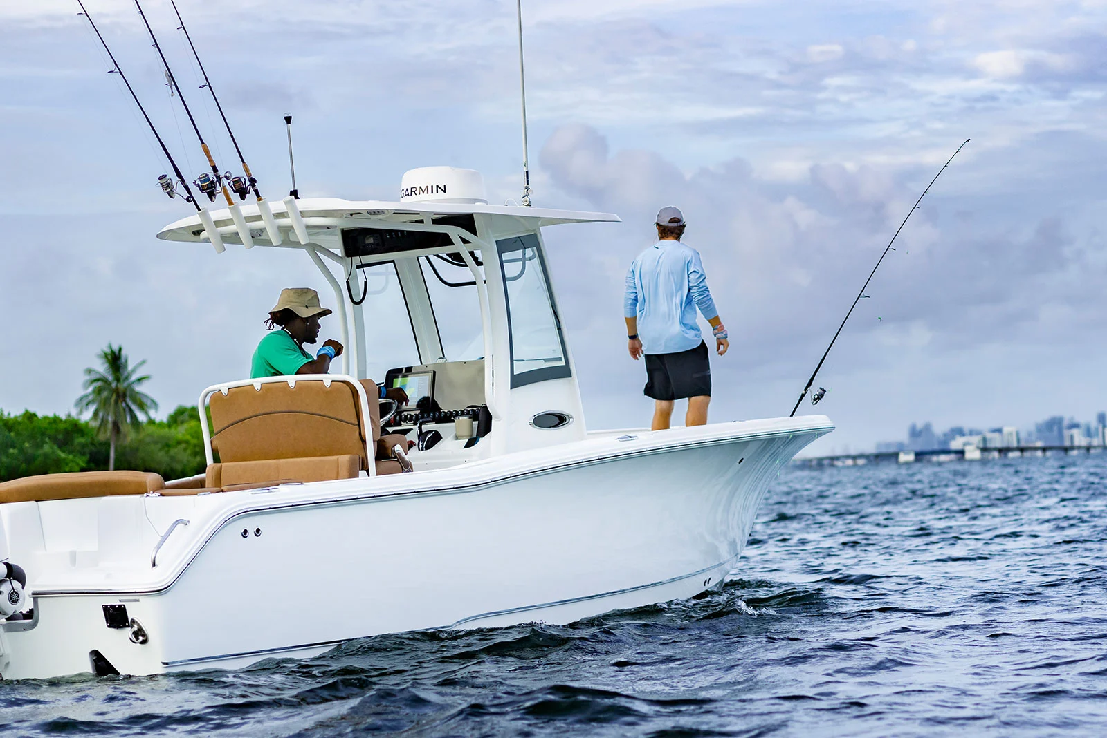
Advanced maritime navigation solutions: Navigate with confidence
Maritime navigation demands precision, reliability and real-time knowledge. Whether managing a commercial fleet, operating offshore platforms or piloting fishing vessels, navigating efficiently at sea is the key to safety. Our advanced marine navigation solutions offer accuracy, real-time knowledge and seamless communication to help you navigate with confidence.
Equipped with cutting-edge technologies - from marine radar to AIS systems - our solutions are designed to improve situational awareness, optimize routing and ensure safe maritime operations, whatever the conditions.
MARITIME
Our Comprehensive Navigation Solutions
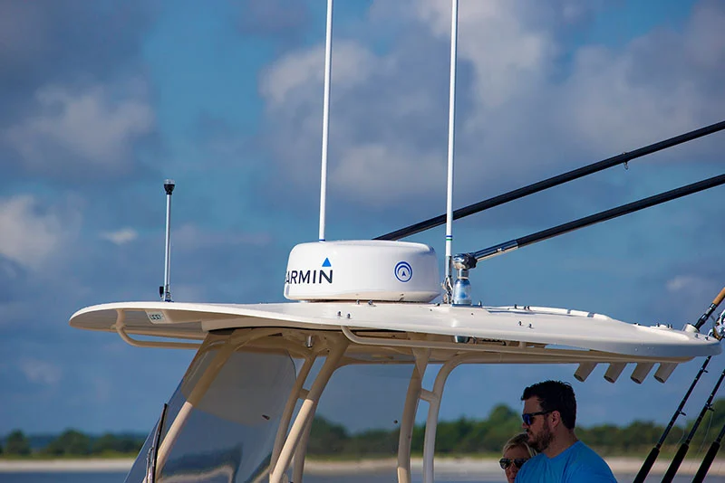
Radars
Experience next-level maritime safety with high-resolution radar systems that offer crystal-clear imaging and superior target separation. These radars ensure precise navigation, even in challenging conditions, by detecting vessels, obstacles, and weather patterns in real time.
VHF & AIS
Stay connected and enhance maritime safety with digital VHF radios and Automatic Identification Systems (AIS). Equipped with Digital Selective Calling (DSC), these systems enable emergency alerts, direct calls using MMSI numbers, and seamless communication, improving situational awareness and response times at sea.
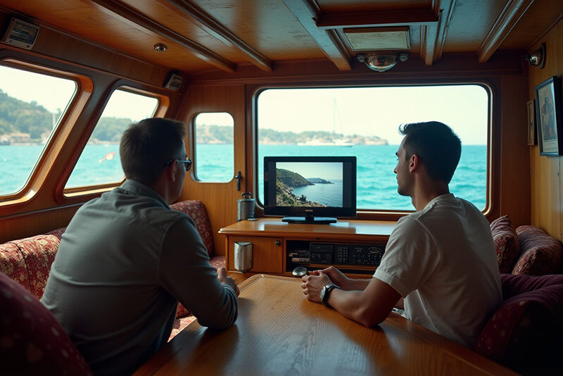
On Sea TV receiver
Never miss out on your favorite entertainment, even in the middle of the ocean. Marine TV receivers provide access to high-quality television channels, keeping the crew and passengers informed and entertained, no matter the location.
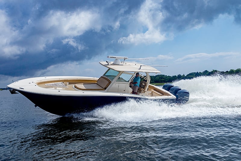
Antennas and sensors
Stay on course with advanced marine antennas and sensors that deliver real-time navigation data. Whether it's GPS positioning, weather updates, or vessel heading, these robust systems ensure continuous connectivity and precise monitoring, even in remote waters.
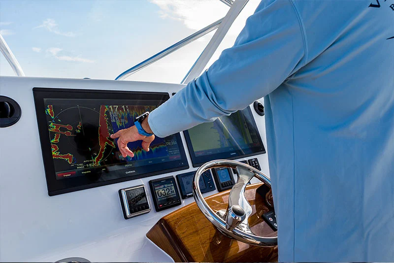
chartplotter
Navigate effortlessly with intuitive chartplotters designed for accuracy and ease of use. Featuring real-time mapping, route planning, and built-in sonar capabilities, they provide detailed underwater imaging, allowing mariners to make informed decisions for safer and more efficient voyages.

camera
Enhance security and capture every moment at sea with high-definition marine cameras. Whether for onboard surveillance, docking assistance, or adventure recording, these cameras offer seamless integration with navigation systems, providing real-time visuals and increased safety.
Can’t see your solution ?
Contact us for information on solutions not shown – no solution is too small or too remote

